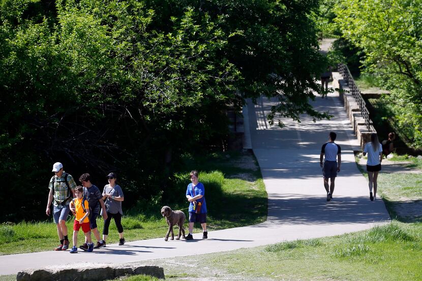
Plano is installing signs designed to boost safety and emergency access on city trails.
The system allows first responders to pinpoint the exact location of any emergency. It will also let emergency crews know the best way to get to the location.
A pilot program to test the system’s effectiveness was implemented along Chisholm Trail in 2019. The system is now being expanded to other Plano trails, according to a city document.
Here’s how it works: Signs will be posted alongside a trail about every one-third of a mile to ensure that trail users are always near an emergency marker.
Each sign will have a unique location identifier. The ID listed on each trail marker provides emergency response teams with the trail section, trail name, and orientation.
If you need emergency assistance while on a trail, find the nearest emergency trail marker, dial 911, and tell the operator the unique location ID listed on the sign. After gathering information, and possibly asking you to stay on the line, first responders will be dispatched.
More information about the trail system is available on the city’s website.