While the main part of storm season is past us, there can still be some severe storms from time to time. One of those chances will come on Saturday as a storm system moves across Texas. Storms could become severe, especially during the afternoon and evening. Large hail and damaging wind gusts will be the main threats. The tornado threat is low, but not zero.
Prior to any Saturday storms, Friday will be mainly dry and very warm with highs in the mid-90s. Saturday will be hot and muggy with highs in the mid to upper 90s. The heat index could reach 100 degrees.
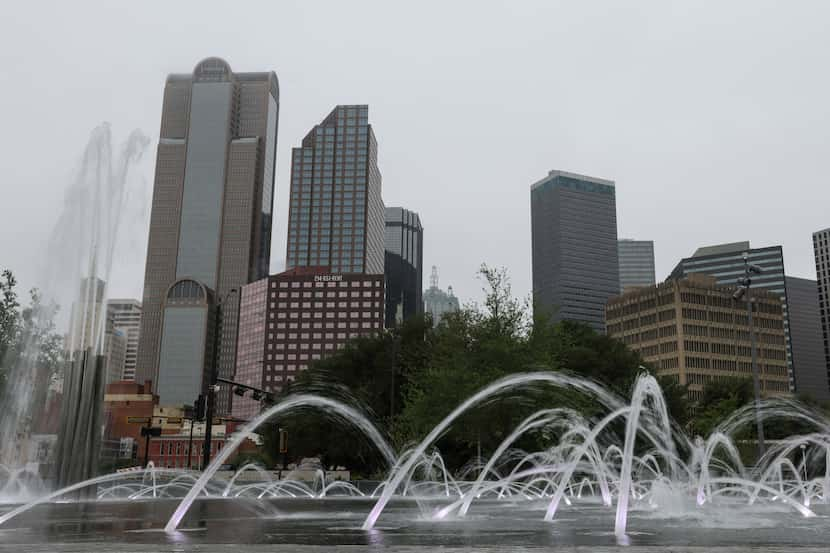
Sunday will be dry and hot with highs in the upper 90s to around 100. Again, the heat index will be 100 to 104. Much of next week will be quite hot with highs ranging from mid-90s to around 100.
Latest Forecast:
TONIGHT: Spotty evening storms, then partly cloudy. Low: 72. Wind: Light.
FRIDAY: Partly sunny, very warm and humid. High: 95. Wind: SE 5-10 mph.
SATURDAY: Partly sunny, very warm and breezy with a 40% chance of storms. Low: 72. High: 96. Wind: S 10-20 mph.
SUNDAY: Mostly sunny, hot and humid. Low: 71. High: 99. Wind: SW 10-15 mph.
MONDAY: Partly sunny, hot and humid. Low: 72. High: 96. Wind: S 10-15 mph.
TUESDAY: Partly sunny, hot and humid. Low: 74. High: 96. Wind: S 10-15 mph.
WEDNESDAY (FLAG DAY): Mostly sunny, hot and humid. Low: 75. High: 98. Wind: S 10-15 mph.
THURSDAY: Mostly sunny and hot. Low: 77. High: 100. Wind: S 10-15 mph.
FRIDAY: Hot with sunshine. Low: 78. High: 100. Wind: S 10-15 mph.
SATURDAY: Mostly sunny and hot. Low: 78. High: 101. Wind: S 10-15 mph.
SUNDAY: Mostly sunny and hot. Low: 78. High: 98. Wind: S 10-15 mph.

:no_upscale()/cloudfront-us-east-1.images.arcpublishing.com/dmn/33U7Q4NH5YEB2NHWWSAQUB77RQ.jpg)
:no_upscale()/cloudfront-us-east-1.images.arcpublishing.com/dmn/IJB2S27DYFGIXABBV5VZOCGA7U.jpg)
/cloudfront-us-east-1.images.arcpublishing.com/dmn/CLNOYLF5LE4U45ZWV5ALQV4WX4.jpg)
/cloudfront-us-east-1.images.arcpublishing.com/dmn/WQ2PADIFGVCITLLHLVMQ3GUQHM.jpg)
/cloudfront-us-east-1.images.arcpublishing.com/dmn/IWJER7IKSNCRTKGYNR3ZY7TCJY.PNG)